

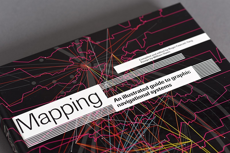
Mapping
An Illustrated Guide to Graphic Navigational Systems
By Roger Fawcett-Tang
and William Owen
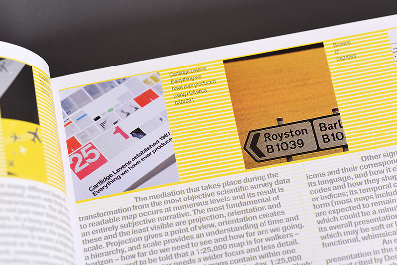
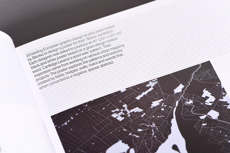
Mapping Graphic Navigational Systems offers a comprehensive study of all areas of cartography from nautical charts to subway systems, from websites to calendars. This guide reveals the visual language of location, direction, spatial and structural relationships which are central to the information design discipline. Featuring in-depth essays as well as inspiring visuals and case studies, this book will be welcomed by professional information designers and design students everywhere.
Published by RotoVision
English
Hardback and updated Paperback editions
290 x 225 mm
160pp


Struktur Design Limited, 41 Queens Avenue, London N10 3PE. United Kingdom
+44 (0)7802 885477
© 2020 Struktur Design Limited. All rights reserved![]()